


Artist / Author / Cartographer:
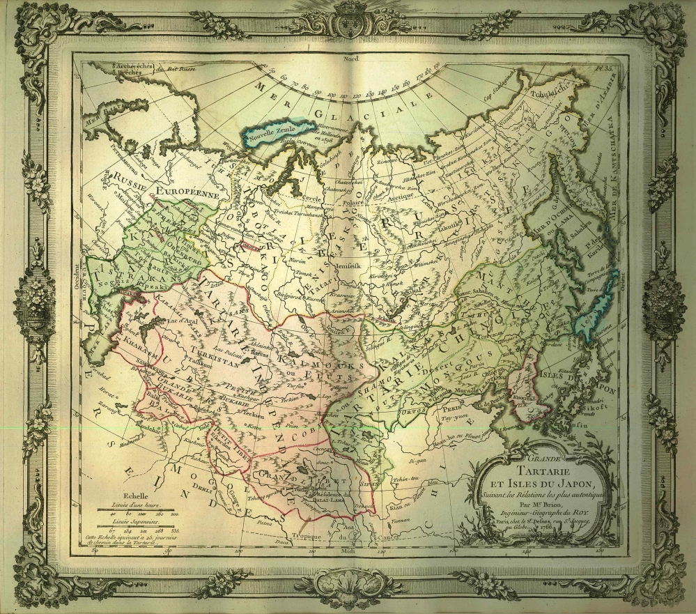
Brion de la Tour, Louis
Title:
Tartary - Grande Tartarie et Isles du Japon
Date:
1766
Medium:
copper engraving, original colour
Size:
35 x 38.5 cm
Description:
A map of Tartary and Japan framed by an elaborately engraved rococo border. Hokkaido (Ieso) is correctly depicted as an island.
This map was drawn by Louis Brion de la Tour who was working in Paris in the second half of the eighteenth century. It was published by Louis Charles Desnos who was a French mapmaker, globemaker and publisher of Rue St Jacques, Paris. He was appointed globe maker to the King of Denmark but he spent most of his life as a globe maker and map publisher.
References:
Item Code:
MA8055
attachment:
