


Artist / Author / Cartographer:
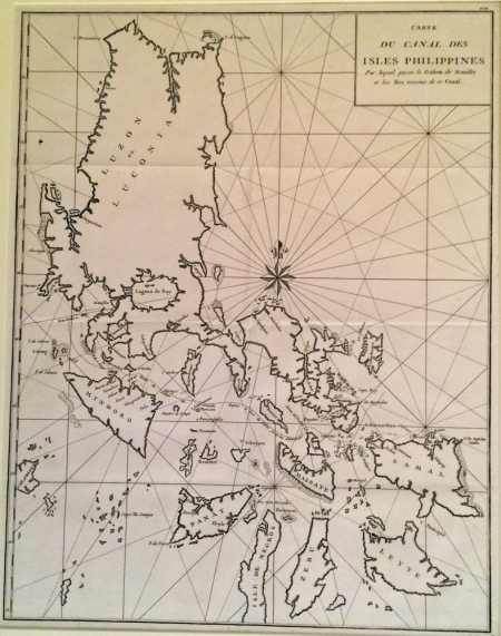
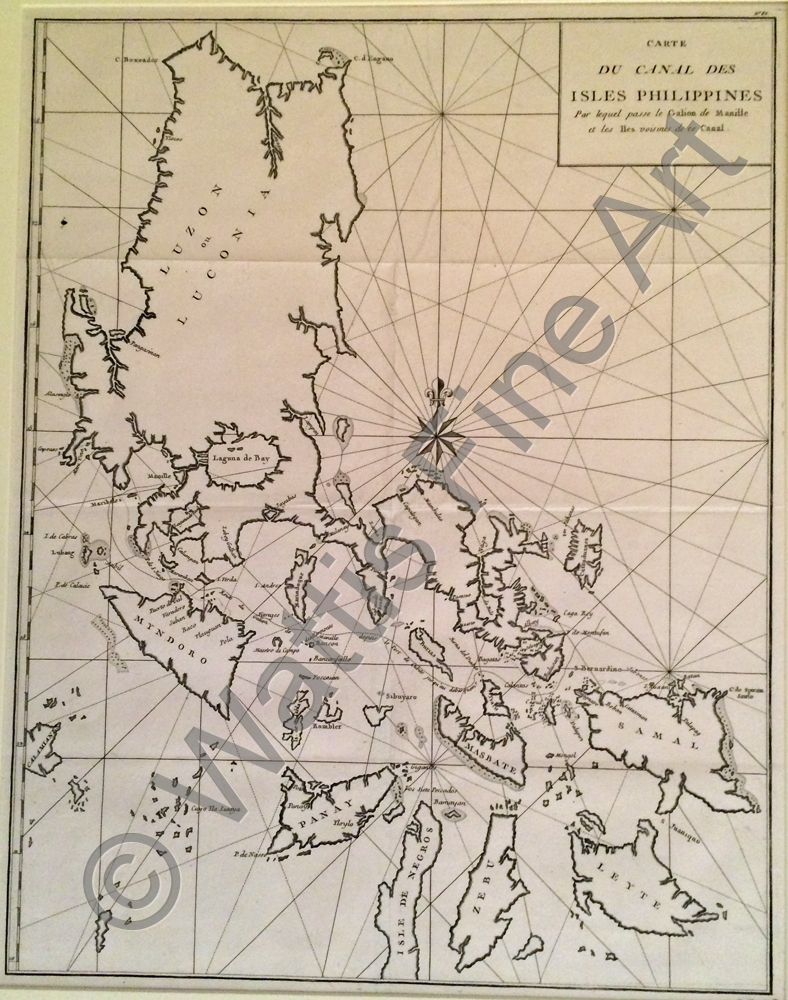
Anson, George
Title:
Carte du Canal des Isles Philippines
Date:
c1748
Medium:
copper engraving
Size:
54 x 42 cm
Description:
A chart of the Philippine Islands published in the mid 18th century. A striking image with rhumb lines and a compass rose.
A good strong impression of this mid eighteenth century map of the Philippine Islands.
References:
Item Code:
MA5592
attachment:
