


Artist / Author / Cartographer:
War Office, Geographical Section , General Staff
Title:
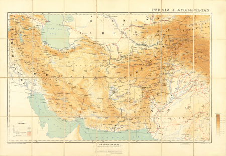
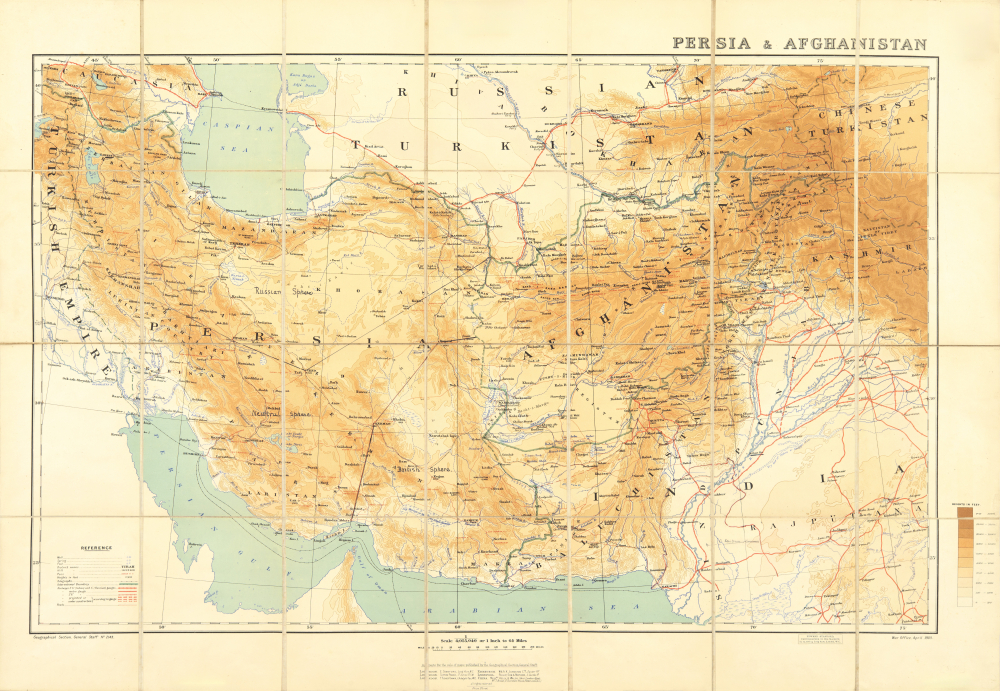
Persia & Afganistan
Date:
1908
Medium:
lithograph, printed in colour
Size:
51 x 79.5 cm
Description:
Scale 1 inch to 64 miles. Folding map showing the extents from Khiva down to the northern reaches of the Arabian Sea and Simla across to Baghdad. Full printed colour graded according to the altitude with a key to the right margin, dissected into 28 sections and mounted on linen. Folds between original purple cloth covers with Stanford's printed label to the upper board and their advertisements to the inner cover and the folded end section of the map.
This type of map might be referred to as a "Great Game" map with manuscript in pen and ink dividing part of the map as "Russian Sphere, Neutral Sphere and British Sphere".
Very good condition.
References:
Item Code:
MA8245
attachment:
